Technology Overview
Cak Suro is a portable autonomous surface vehicle designed for bathymetric surveys in shallow water environments. The platform integrates autonomous navigation, remote monitoring, and professional survey sensors to deliver accurate and efficient hydrographic data collection. The system is built with modular architecture consisting of platform structure, control system, and survey sensor system.
Our Products
View All Product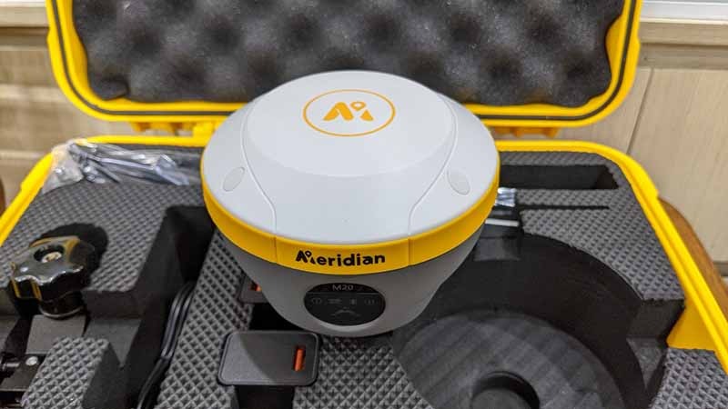
Meridian M20 Lite GNSS RTK Rover
Description :
A high-precision GNSS RTK rover designed to deliver centimeter-level positioning accuracy for surveying, mapping, construction, and autonomous navigation applications.
Features Features
- Centimeter-Level RTK Accuracy
- Multi-Constellation GNSS Support (GPS, GLONASS, Galileo, BeiDou)
- Fast RTK Initialization
- Compact and Lightweight Design
- Reliable Performance in Challenging Environments
- Real-Time Positioning and Data Transmission
- Easy Integration with Survey and Mapping Systems
Specifications
- Model - Meridian M20 Lite
- Type - GNSS RTK Rover
- Positioning Accuracy - Centimeter-Level RTK
- Satellite Support - GPS, GLONASS, Galileo, BeiDou
- Operation Mode - RTK Rover
- Communication - Wireless Data Transmission
- Application - Surveying, Mapping, Construction, Hydrographic Survey
- Portability - Compact & Lightweight
- Integration - Compatible with GNSS RTK Survey Systems
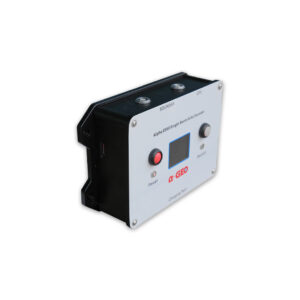
Alpha Geo ES50 Echo Sounder
Description :
A professional single beam echo sounder designed to provide reliable and accurate depth measurements for bathymetric surveying, hydrographic mapping, and shallow water monitoring applications.
Features Features
- High-Accuracy Depth Measurement
- Real-Time Bathymetric Data Acquisition
- Single Beam Survey Technology
- Compact and Lightweight Design
- Easy Integration with USV and Survey Systems
- Stable Performance in Shallow Water Environments
- Suitable for Hydrographic and Bathymetric Applications
Specifications
- Model - Alpha Geo ES50
- Type - Single Beam Echo Sounder
- Application - Bathymetric & Hydrographic Survey
- Measurement - Water Depth Acquisition
- Data Output - Real-Time Depth Data
- Integration - USV / Survey Boat / Hydrographic Systems
- Deployment - River, Reservoir, Lake, Coastal Areas
- Operation - Continuous Survey Measurement
- Installation - Portable & Easy Integration
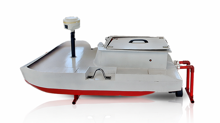
USV Cak Suro V1.0
Description :
Portable autonomous surface vehicle for shallow water bathymetric survey.
Features Features
- GNSS RTK positioning
- Echo sounder Alpha ES50
- Autonomous navigation
- Remote monitoring
- Portable hull
Specifications
- Platform — Portable USV
- Navigation — GNSS RTK
- Sensor — Echo Sounder Alpha ES50
- Operation — Autonomous
- Communication — Telemetry 500mW
Our Services
View All ServicesComplete Bathymetric Survey Service
Description :
End-to-end bathymetric survey service using the Cak Suro autonomous survey boat. The service covers survey planning, field data acquisition, GNSS RTK positioning, echosounder measurement, and processed bathymetric data output.
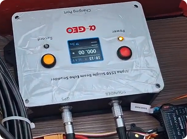
Rental USV + Operator
Description :
Autonomous Surface Vehicle (USV) rental service complete with a professional operator for shallow water survey operations. This service includes deployment, mission setup, autonomous navigation, and basic data acquisition using GNSS RTK and integrated echosounder.
System Architecture

Navigation
High-precision RTK GNSS positioning system

Propulsion
High-efficiency electric propulsion system

Survey
Integrated echosounder for accurate bathymetric mapping

Power
Long endurance lithium battery system for extended operations